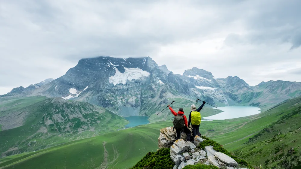

Discover the untouched beauty of Ranthan Kharak Trek 🌿 No crowds. Pure हिमालय.
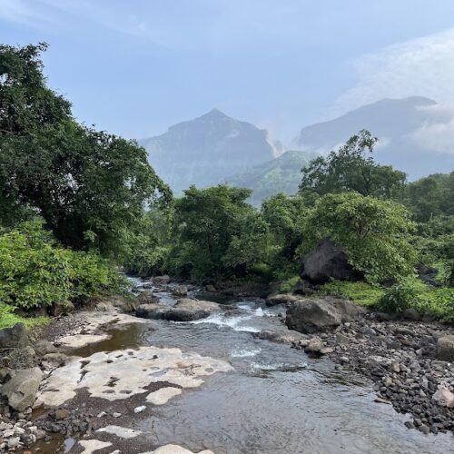
The Ranthan Kharak Trek is a hidden gem in the Kumaon region of Uttarakhand, offering a rare blend of untouched wilderness, alpine meadows, dense forests, and breathtaking Himalayan views. Unlike crowded glacier treks, this trail takes you deep into the serene landscapes of the kumaon himalaya trek circuit.
Starting from Gogina village in Bageshwar district, this 6–7 day trek covers approximately 40 km and forms a scenic loop. The trek reaches a maximum altitude of around 3,900 meters, making it a perfect high altitude trek India experience for both beginners (with preparation) and experienced trekkers.
This offbeat Himalayan trek is a high-altitude sanctuary where the silence is only broken by the rustle of the wind through the “Kharaks” (summer grazing lands). Starting from the remote outpost of Gogina Village, the trek serves as a natural Pindari Glacier trail extension, taking you deep into a landscape where the culture of the Shauka people meets the ruggedness of the glacier valleys.
Whether you are a photography enthusiast capturing the golden light on Nanda Kot or a traveler seeking a high altitude trek in India that avoids the crowds, Ranthan Kharak is your answer.
Ranthan Kharak Trek Highlights
Quick Facts
- 📍 Location: Pithoragarh / Bageshwar, Uttarakhand
- 🏁 Starting Point: Gogina Village
- 🏔️ Maximum Altitude: 3,900 m (Ranthan Top)
- 📏 Trek Distance: ~40 km
- ⏳ Duration: 6 Days Trek + Travel
- 🧗 Difficulty: Easy to Moderate
- 🌄 Best Time: April–June & September–November
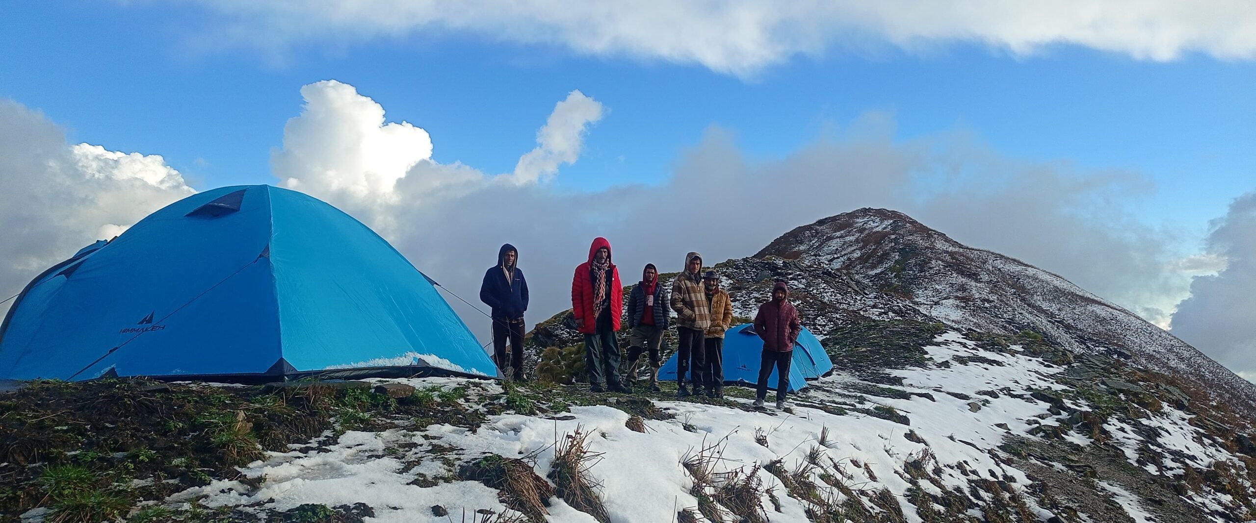
- 🏕️ Stay: Homestay + Camps
- 🌿 Trail Type: Forest + Meadows + Ridge Walk
Ranthan Kharak Trek 7-Day Package
Uncover Kumaon’s hidden alpine meadows and glacier views. A remote, offbeat journey from Gogina village to Ranthan Top.
-
🏠Stays: Homestays in Gogina & premium tents on twin/triple sharing.
-
🍱All Meals: Nutritious veg meals (Breakfast, Lunch, Dinner + Snacks).
-
🧑✈️Expert Team: Certified Trek Leader, local guides, and kitchen staff.
-
📜Permits: All forest fees, entry charges, and local trekking permits.
-
🩹Safety: Medical kit, oxygen cylinders, and emergency protocols.
-
🚐Transport: Shared Bolero Kathgodam-Gogina-Kathgodam (+₹3,000)
-
🎒Offloading: Backpack carriage (up to 8kg) (+₹2,000)
-
👤Single Tent: Occupancy upgrade available on request.
🌄 Key Attractions:
The trek is a visual symphony of varying landscapes. Here are the highlights that make every drop of sweat worth it:
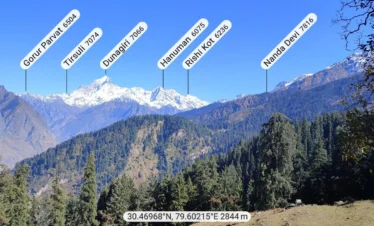
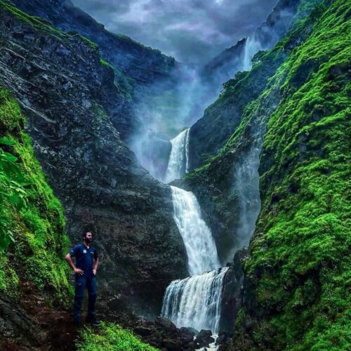
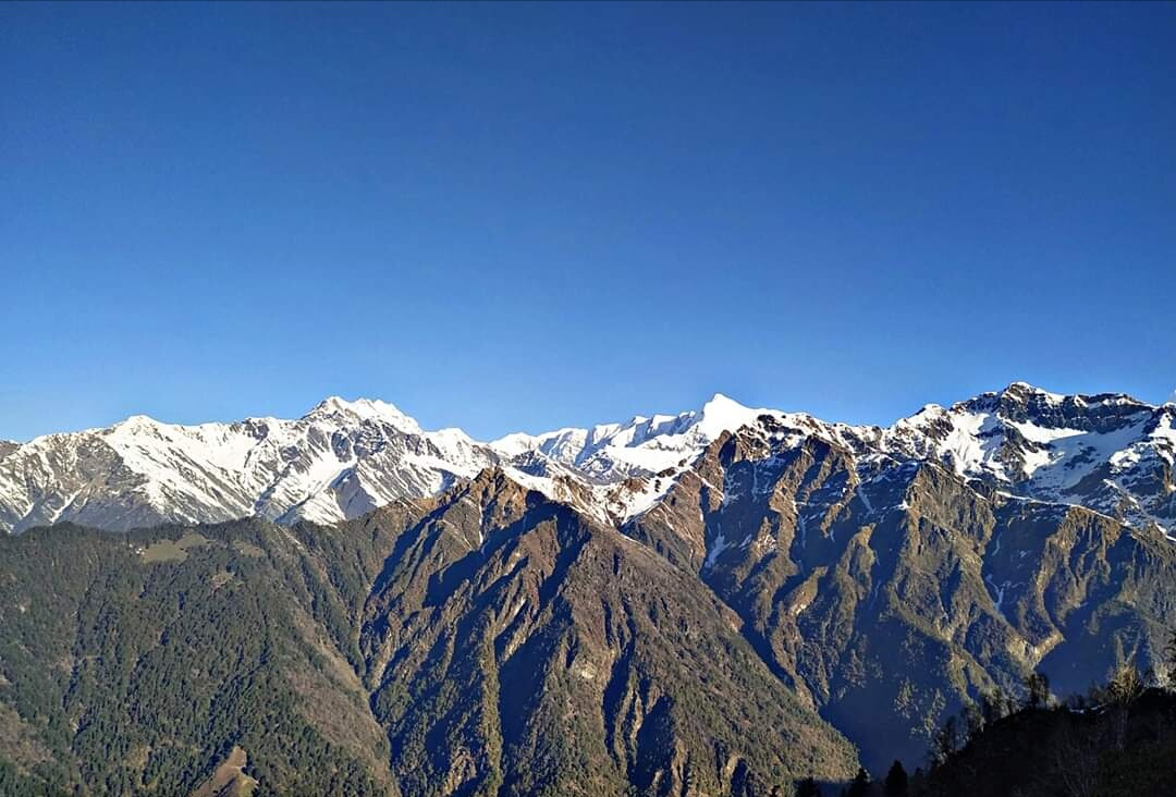
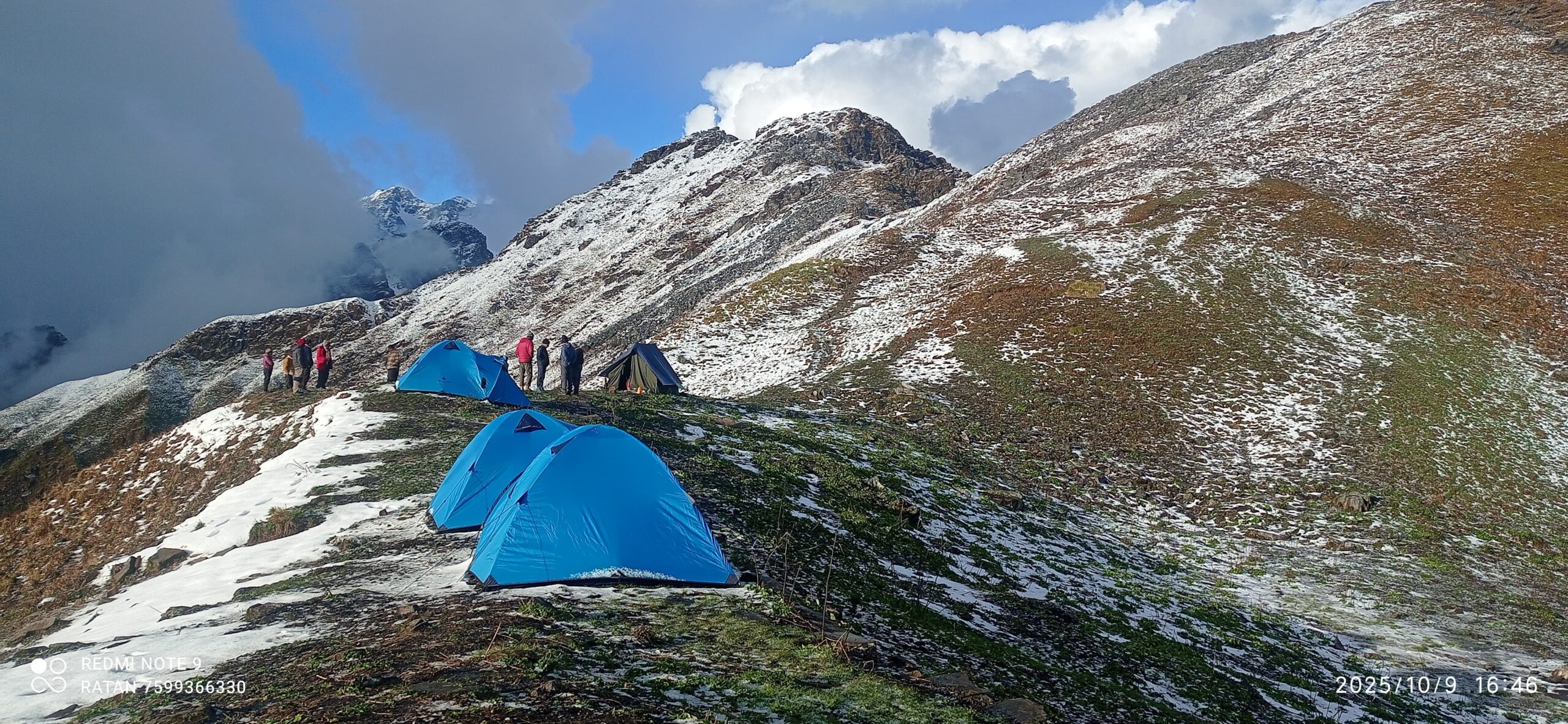
- The “Double-Sided” View: From the stretch between Thal Top (3,200m) and Ranthan Top (3,900m), you are sandwiched between giants. To one side lie the meadows of Khaliya Bugyal and the five sharp peaks of Panchachuli (6,904m). To the other, the massive wall of Nanda Kot (6,861m) dominates the skyline.
- Gogina & Namik Villages: Experience the heartbeat of the Kumaon hills in these traditional stone-house villages, where hospitality is a way of life.
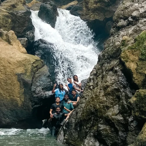
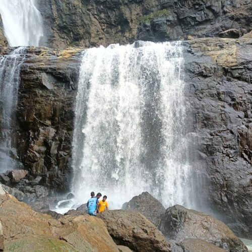
- Glacier Viewpoints: This is a premier glacier view trek in India, offering glimpses into the basins of the Kafni Glacier and the remote Namik Glacier systems.
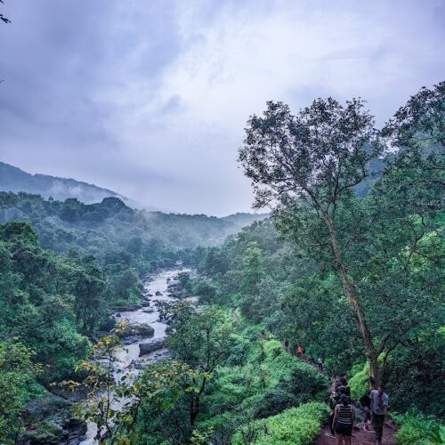
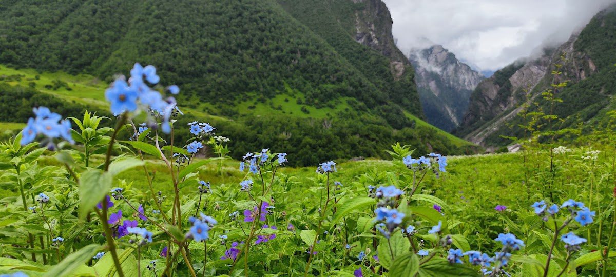
- Vibrant Flora: During spring, the trail transforms into a red-and-pink paradise during the peak of the rhododendron forest trek season.
👉 This trek is often considered an extension of the pindari glacier trail extension, but far less crowded and more raw.
Outline Itinerary
Day 1: Kathgodam → Gogina (2100m): 8–9 hrs drive
Day 2: Gogina → Namik (2200m): 4 km trek
Day 3: Namik → Thala Bugyal (3000m): 8 km trek
Day 4: Thala Bugyal → Chofu Top (3600m): 4 km trek
Day 5: Chofu → Ranthan Top (3900m) → Parwa Thor (2800m): 8–9 km
Day 6: Parwa Thor → Gogina: 8–9 km
Day 7: Gogina → Kathgodam (Drive)
Ranthan Kharak – Altitude Profile
6-Day Kumaon Loop · Max Altitude 3,900 m · Moderate Grade · Super Trekkers
What Makes the Ranthan Kharak Trek So Special?
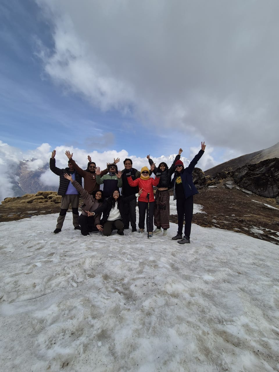
The Ranthan Kharak Trek is not just a hike; it is a journey into the “Land of the Gods.” The trail is renowned for its 360-degree panoramic views. From Ranthan Top (3,900m), the horizon is dominated by the majestic Panchachuli Peaks (6,904m) and the formidable Nanda Kot (6,861m).
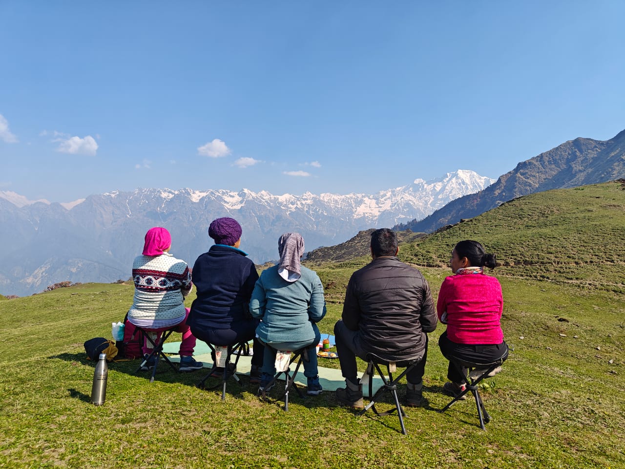
Trekkers move through the “Kharaks” (high-altitude summer grazing lands), where the lush green carpet of Khaliya Bugyal meets the rugged beauty of the Kafni Glacier region. This is a high altitude trek in India that remains largely undocumented in mainstream tourism, ensuring that your footprints are among the few on the trail.
When is the Ranthan Kharak Trek Best Time?
Planning is half the battle. Depending on what you want to see, here is the seasonal breakdown:
- Summer (May to June): The best time for clear weather and the rhododendron blooms. The meadows are at their greenest, and the temperature is perfect for trekking.
- Post-Monsoon (September to October): If you are a photography enthusiast, this is the time for you. The rain clears the dust, leaving the air crystal clear and the mountain views sharp and dramatic.
- Monsoon (July to August): Not recommended due to heavy rainfall in the Kumaon region and risk of landslides.
🧗 How difficult is the Ranthan Kharak Trek?
The ranthan kharak trek difficulty is rated Easy to Moderate.
✔ Suitable for:
- Beginners with good fitness
- Photographers
- First-time Himalayan trekkers
⚠ Challenges:
- Continuous ascent
- Altitude gain
- Remote terrain
👉 Proper ranthan kharak trek preparation tips are essential.
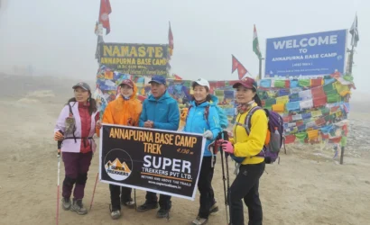
Other Treks
Included:
- All meals (Day 1–6)
- Homestay + tents
- Trek leader & crew
- Permits & forest fees
Excluded:
- Travel to Kathgodam
- Personal expenses
- Insurance
- Meals during travel